


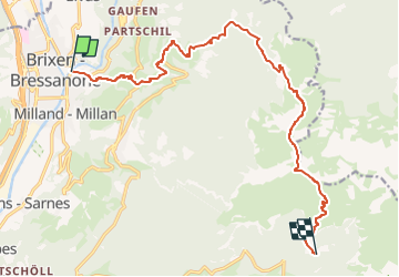

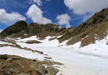
9,2 km | 14,2 km-effort


Tous les sentiers balisés d’Europe GUIDE+


Gratisgps-wandelapplicatie
 SityTrail
IGN / Geografische instituten
SityTrail World
De wereld gaat voor u open
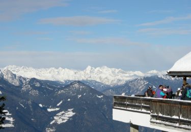
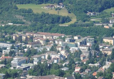
Tocht Te voet van 15,2 km beschikbaar op Trento-Zuid-Tirol, Bolzano - Bozen, Brixen - Bressanone. Deze tocht wordt voorgesteld door SityTrail - itinéraires balisés pédestres.
Trail created by Alpenverein Südtirol (AVS).
Symbol: weißes Viereck mit der Nummer, rechts und links ein roter Balken


Stappen
Stappen
Stappen
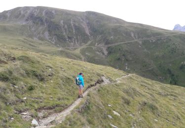
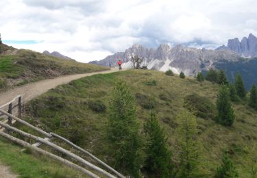
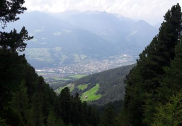
Te voet
Te voet
Te voet
Te voet
Te voet
Te voet